Fort de Roovere
Bergen op Zoom → Bergen op Zoom
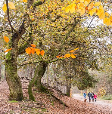
Nature and history, you'll encounter plenty of both during this walk. Via Landgoed Zoomland, an area with forest, heath, drifting sand and marsh, you'll reach Fort de Roovere. The walk ends in Bergen op Zoom. An ideal place to indulge your Burgundian heart.
Up to 3 photos. We resize them automatically so phone photos work fine.
The map shows the main signposted route. Variants follow the same trail with shortcuts or extensions — see Practical info and Route notes for details.
Highlights
- Forts of the West-Brabantse Waterlinie
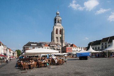
- Historic city center of Bergen op Zoom
- Forests, heath, sand and estate
Practical info
- Distance
- 13 km, 16 km or 18 km
- LAW
- GR5 and Floris V-pad. The Dutch section of the GR5 is in the guide of the Nederlands Kustpad part 1.
- Percentage paved
- 65%
- Dogs allowed?
- Yes. Dogs are allowed on a leash.
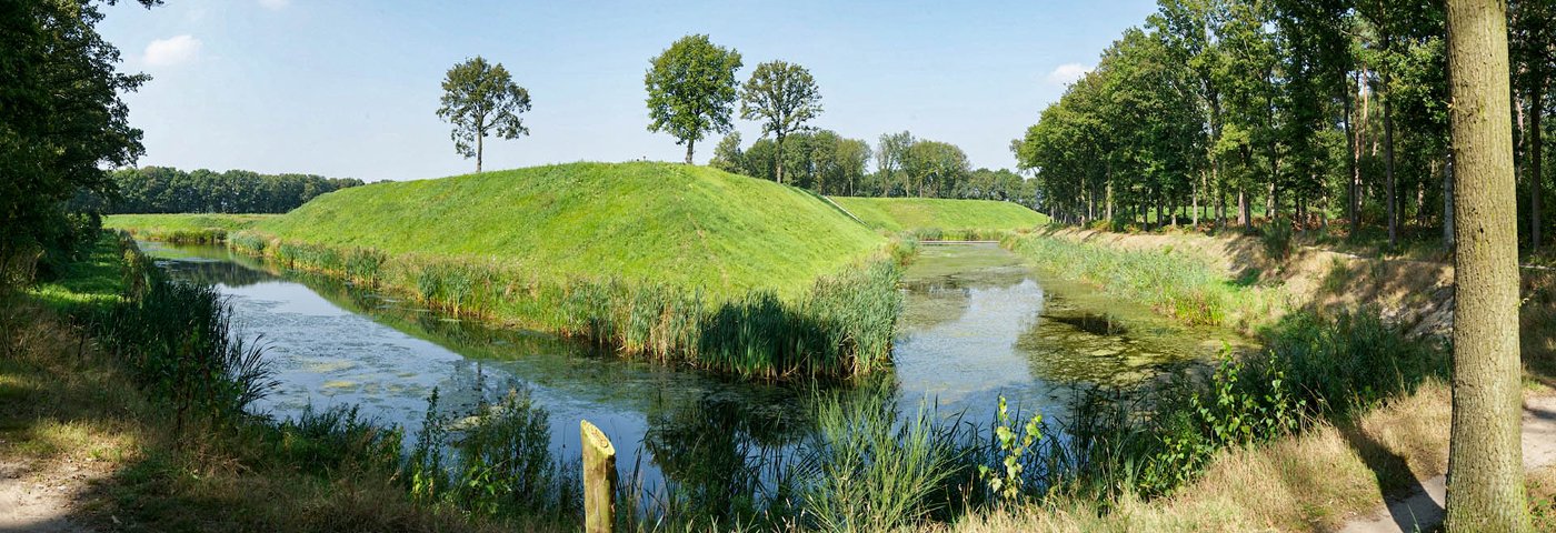
Description
You leave the city on the east side and first walk to Klavervelden: a hub where LAWs from 6 directions converge! Via Landgoed Zoomland, an area with deciduous and coniferous forest, heath, drifting sand and marsh, you'll reach Fort de Roovere. This fort was part of the West-Brabantse Waterlinie and used to defend Bergen op Zoom. You follow parts of the famous GR5. The route ends in the historic and Burgundian heart of Bergen op Zoom, where you'll run out of time!
Route
You can shorten the route by taking the bus from the station first.
Check current departure times in the NS app or in the Reisplanner on NS.nl (also bus times).
Photos from NS
Photos © NS · sourced from ns.nl