Vughtse Lunetten
Vught → Den Bosch
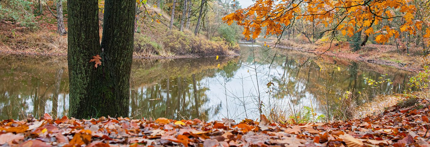
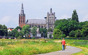
From Vught station, you walk to the former Lunetten and to Kamp Vught. A beautiful grassy path leads you to Fort Isabella, part of the Zuiderwaterlinie. Just before 's-Hertogenbosch, you follow the city walls, but you can also walk through the green Bossche Broek. You end up in the old city center of 's-Hertogenbosch with numerous monuments, restaurants, and shops. Have you ever tasted the real Bossche Bol?
Up to 3 photos. We resize them automatically so phone photos work fine.
The map shows the main signposted route. Variants follow the same trail with shortcuts or extensions — see Practical info and Route notes for details.
Highlights
- National Monument Kamp Vught
- Fort Isabella
- The Bossche Fortifications
Practical info
- Distance
- 9 km or 10 km
- LAW
- Pelgrimspad
- Dogs allowed?
- Yes. Dogs are allowed on a leash.
Description
Please note: the walking direction of this NS-walk has changed! You now end in the center of 's-Hertogenbosch.
You start at Vught station, where you first walk through a quiet residential area. Just past the former Lunetten, you walk along the impressive Kamp Vught with its museum, which is definitely worth a visit. A beautiful grassy path along the Drongelens Kanaal brings you to Fort Isabella (with catering), which is part of the Zuiderwaterlinie.
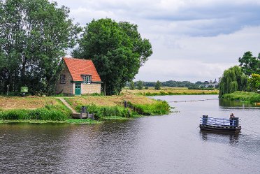
You then quickly reach the city walls, with views of the city canal and the Bossche Broek. You can also choose to cross with a hand ferry and walk a bit through the Bossche Broek. The route ends in the old city center of 's-Hertogenbosch with the monumental Sint-Janskathedraal and the Markt.
Route
If you prefer to skip the center of 's-Hertogenbosch, you can follow the Dommel and shorten the route to 9 km.
Photos from NS
Photos © NS · sourced from ns.nl