Beerschoten
Bunnik → Bilthoven
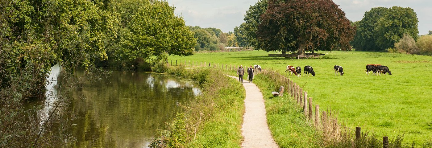
Any hiking enthusiast should have walked the path along the Kromme Rijn to Rhijnauwen at least once. You walk beautifully between the forts and along the bunkers of the Hollandse Waterlinie. The charming, lively tea house simply begs for an extended stopover.
Up to 3 photos. We resize them automatically so phone photos work fine.
The map shows the main signposted route. Variants follow the same trail with shortcuts or extensions — see Practical info and Route notes for details.
Highlights
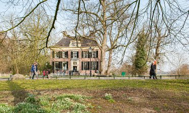
- Rhijnauwen Estate
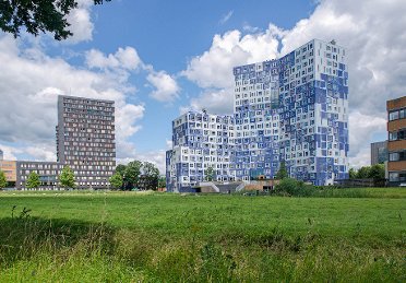
- De Uithof
- Beerschoten and the Panbos
Practical info
- Distance
- 6 km, 11 km or 17 km
- LAW
- Utrechtpad, Utrecht on foot
- Dogs allowed?
- Yes. Dogs on a leash are allowed.
Description
After Bunnik's center, you are suddenly truly in the countryside. You walk along the beautiful hiking path along the Kromme Rijn to Rhijnauwen. Between the forts and along the bunkers of the Hollandse Waterlinie. Around the tea house, there is always liveliness.
At the end of the estate, colorful buildings of De Uithof, the university center of Utrecht, appear. A little later, you walk right through them. After the meteorological field of the KNMI and De Bilt, you dive into the forested area of Beerschoten estate to emerge in Bilthoven.
Route
By taking a bus, it is possible to shorten the route to 6, 7.5, 9.5, or 11 km respectively.
Check current departure times in the NS app or in the Travel Planner on NS.nl (also bus times).
Photos from NS
Photos © NS · sourced from ns.nl