Waterlinie Culemborg
Houten Castellum → Culemborg
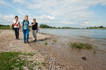
Forts, bunkers, and 'inundation canals' are all encountered along the way. They are part of the Nieuwe Hollandse Waterlinie, a former line of defense. Tip: walk this route in spring or summer! Then you can cross the Lek with the Liniepont, or wander through the Steenwaard floodplains.
Up to 3 photos. We resize them automatically so phone photos work fine.
The map shows the main signposted route. Variants follow the same trail with shortcuts or extensions — see Practical info and Route notes for details.
Highlights
- Forts and bunkers of the Nieuwe Hollandse Waterlinie
- The Verdronken Bos
- Crossing the Lek with the Liniepont
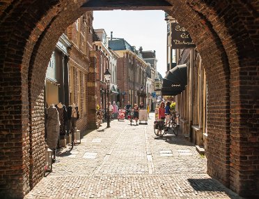
- Culemborg city center
Practical info
- Distance
- 7 km, 8 km, 13.5 km or 17 km
- LAW
- Utrecht te Voet and Waterliniepad
- Paved percentage
- 50%
- Dogs allowed?
- No. Partially forbidden, an alternative is indicated.
Route
The route can be shortened to 7, 8 or 13.5 km by traveling from Houten or Houten Castellum station with U-flex. Get off at stop Trip Schalkwijk (and walk another 13.5 km), Werk aan de Korte Uitweg (another 8 km) or Fort Honswijk (another 7 km) respectively.
U-flex is a flexible public transport service where the bus runs on demand. Prior reservation is required; this can be done up to 30 minutes before departure via the TURNN app or by calling 0900-525 2241 (standard call charges). The price is €2.50 per ride (with OV-chipkaart or with PIN in the vehicle). Click here for more information.
Please note: the path along the Inundatiekanaal between Schalkwijk and Werk a/d Korte Uitweg can be very muddy. Good footwear is recommended.
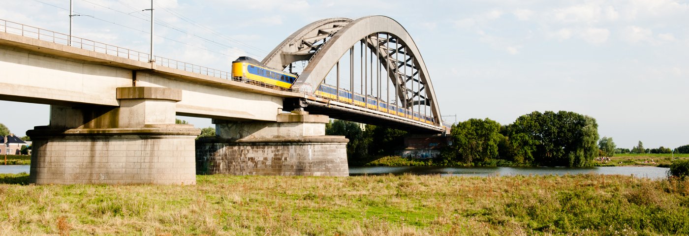
Photos from NS
Photos © NS · sourced from ns.nl