Lange Duinen
Amersfoort Centraal → Soest Zuid
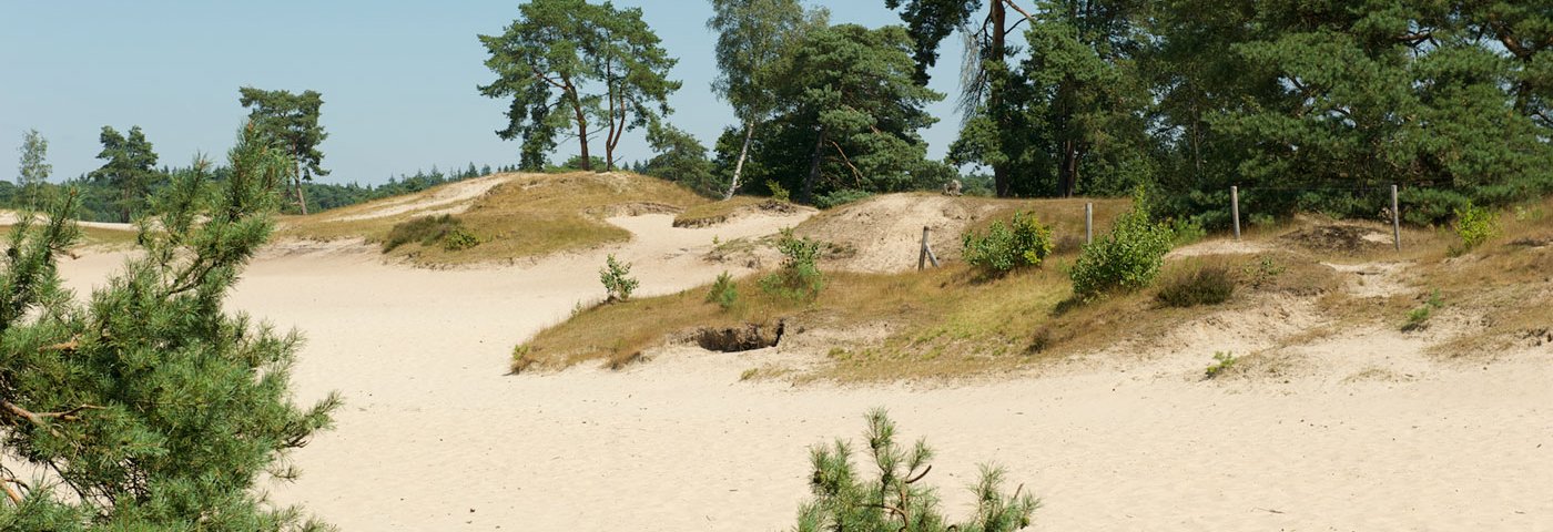
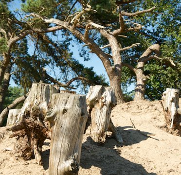
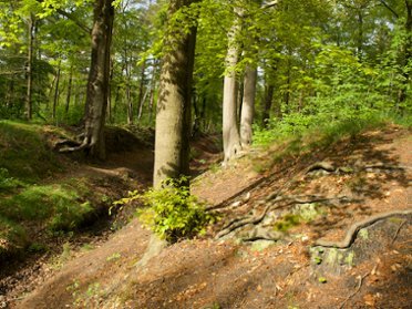
This hiking trail takes you along unpaved roads through the forest and across sand, lots of fine loose sand. The Korte and Lange Duinen are shifting sand areas and have been declared geological monuments due to their rarity. So you don't necessarily have to go to the sea to play in the dunes.
Up to 3 photos. We resize them automatically so phone photos work fine.
The map shows the main signposted route. Variants follow the same trail with shortcuts or extensions — see Practical info and Route notes for details.
Highlights
- Soestduinen
- Willem Arntszhoeve
- Het Bergkwartier
Practical info
- Distance
- 12 km, 15.5 km or 22.5 km
- LAW
- Marskramerpad
- Percentage paved
- 20%
- Dogs allowed?
- Yes. Dogs are allowed on a leash.
Description
Via the Wagenwerkplaats, where NS train sets were maintained until the year 2000, you walk out of Amersfoort, towards the forest. Although the sea is far away, dunes can still be found between Amersfoort and Soest. The Korte and Lange Duinen are drifting sand areas and have been declared geological monuments due to their rarity.
At the end of the Lange Duinen, you can choose between a short route along the sand and through the forest to Soest Zuid station (12 km) or a long walk along De Zoom van Pijnenburg and the Ridderoordsche Bosschen to Hollandsche Rading station (22.5 km). You can also start at Soest Zuid station and walk 15.5 km to Hollandsche Rading station. All three routes are varied forest walks mostly on unpaved roads.
Route
From Soest Zuid station: a train every 2x hour to Baarn and to Utrecht. After 13 km: Soestdijkerweg stop, bus line 59 to Den Dolder station or to Hilversum station; 1x per hour and not on Sundays! After 17 km at Eyckenstein, Mauritshoeve stop, bus line 58 Hilversum station or to Bilthoven station; 1x per hour and not on Sundays! Check current departure times in the NS app or in the Reisplanner on NS.nl (also bus times).
Photos from NS

Photos © NS · sourced from ns.nl