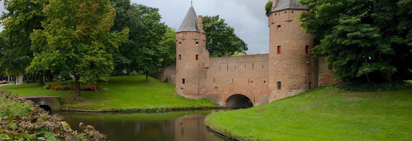
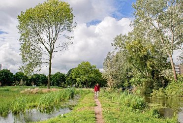
Heiligenbergerbeek
Woudenberg (bus) → Amersfoort
Following the Heiligenbergerbeek, you walk through a special landscape with hedgerows and pollard willows. You end in Amersfoort, where a wonderful tour through the historic center awaits you.
Up to 3 photos. We resize them automatically so phone photos work fine.
The map shows the main signposted route. Variants follow the same trail with shortcuts or extensions — see Practical info and Route notes for details.
Highlights
- Valleikanaal
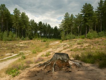
- Former railway line (Amersfoort to Kesteren)
- Heiligenbergerbeek
Practical info
- Distance
- 14 km or 17 km
- LAW
- Utrechtpad and Marskramerpad
- Dogs allowed?
- No. See the alternative on the map. Please note that there are several transfers.
Route
You can shorten the route to almost 14 km by taking the bus for the first part and starting the hiking route at bus stop De Boom (from Amersfoort: just past Leusden). Then take bus line 80 (or X80). Or take bus line 82 towards Doorn (Mon-Fri twice an hour, not on Sat-Sun!).
At the end, you can shorten the route by 4 km by taking city bus 9 at the Vossenstraat stop on the outskirts of Amersfoort to the station (Mon-Fri 4 times an hour, Sat-Sun twice an hour). Check current departure times in the NS app or in the Reisplanner on NS.nl (also bus times).
Photos from NS
Photos © NS · sourced from ns.nl