Elsterberg
Rhenen → Veenendaal West
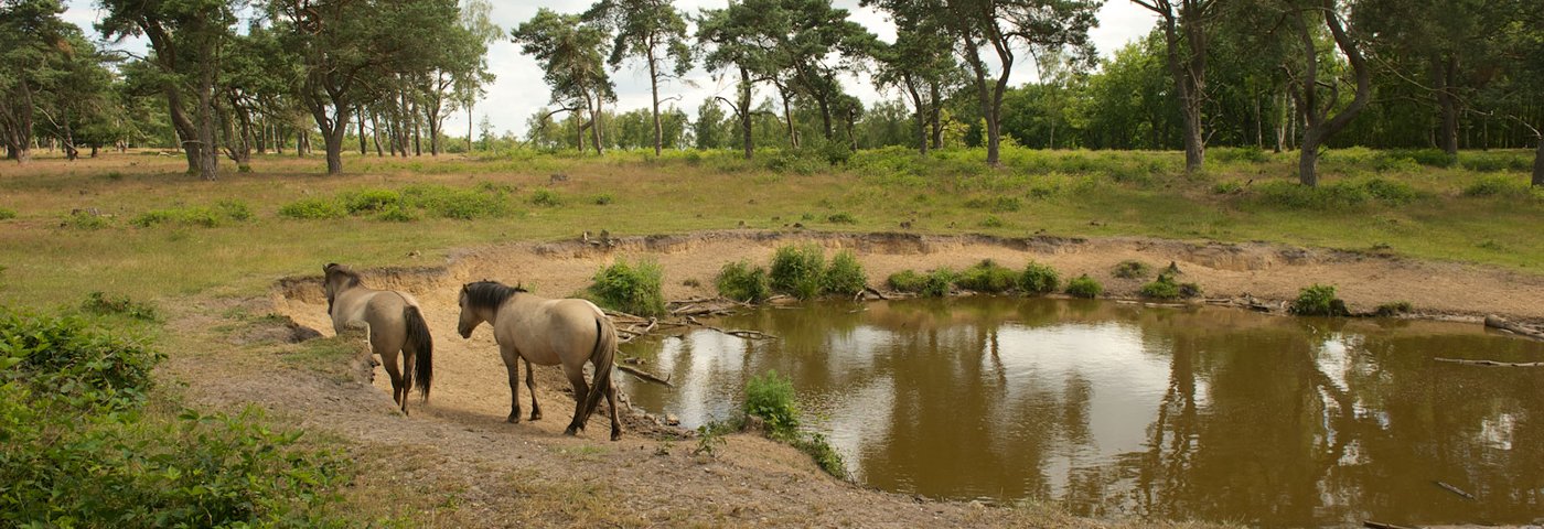
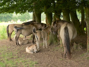
Do you love climbing and descending? During this walk, you will be rewarded with beautiful panoramic views. From the Elsterberg, you look out over the Gelderse Vallei. If you walk on a little further, you will pass the Egelmeer. There's a good chance you'll spot many animals in this former raised bog area.
Up to 3 photos. We resize them automatically so phone photos work fine.
The map shows the main signposted route. Variants follow the same trail with shortcuts or extensions — see Practical info and Route notes for details.
Highlights
- Push moraines
- Surprising views
- Forest and field
Practical info
- Distance
- 11 km or 17.5 km
- LAW
- Trekvogelpad and Utrechtpad
- Dogs allowed?
- Yes. On a leash. Only not in the grazing area (1.5 km). See the map for an alternative.
Description
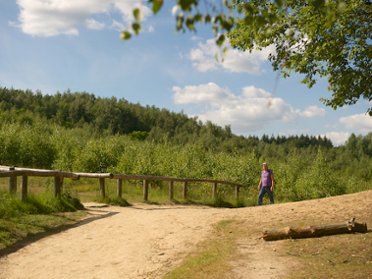
Through this extensive forest area, you reach the Elsterberg. Its northern side offers views towards the Gelderse Vallei. You walk a little further along the Egelmeer, a former raised bog area. Now a diverse biotope for plants and animals. Via an old heath and drifting sand area, you then reach the Slaperdijk; originally built to protect Utrecht from breakthroughs of the Gelderse Rijndijk east of Rhenen.
Route
Those who want to shorten the route can, after 10.5 km, walk 500 m towards Elst at Veenendaalsestraatweg and take bus line 50 at bus stop Franseweg to Veenendaal Centrum station, Veenendaal-De Klomp, or Driebergen-Zeist (daily 2x per hour). From bus stop Veenendaalsestraatweg in Elst (approx. 1 km from the route), bus line 50 runs to Rhenen station, Driebergen-Zeist, and Utrecht (2x per hour). Check current departure times in the NS app or in the Reisplanner on NS.nl (also bus times).
Photos from NS
Photos © NS · sourced from ns.nl