Blauwe Kamer Rhenen
Rhenen → Rhenen
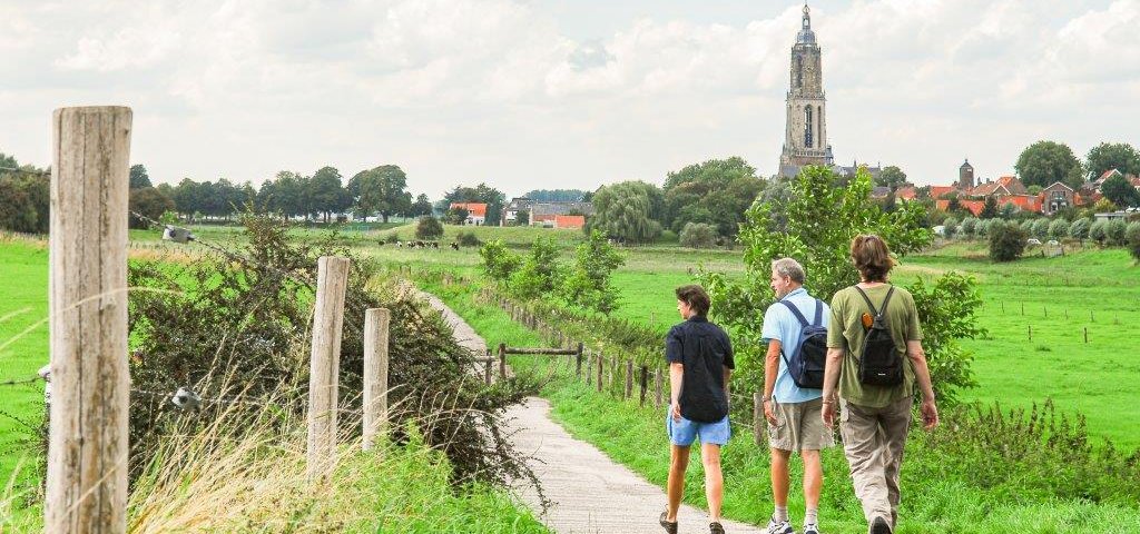
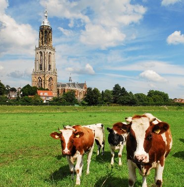
A succession of highlights: the vast floodplains of the Lower Rhine, the Blauwe Kamer nature reserve, and the Grebbeberg. Still have time and energy? Then add an extra loop through the historic city center of Rhenen. What a versatile route.
Up to 3 photos. We resize them automatically so phone photos work fine.
The map shows the main signposted route. Variants follow the same trail with shortcuts or extensions — see Practical info and Route notes for details.
Highlights
- Floodplains of the Lower Rhine
- Blauwe Kamer and Grebbeberg nature reserve
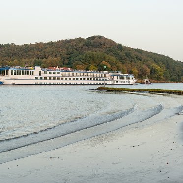
- Crossing the river by ferry
- Optional: loop through Rhenen city center
Practical info
- Distance
- 10.5 km, 11.5 km, 15 km or 17.5 km
- LAW
- Maarten van Rossumpad, Romeinse Limespad, Trekvogelpad
- Percentage paved
- 35%
- Dogs allowed?
- Yes. Dogs are allowed on a leash, but forbidden in the Blauwe Kamer and on the Grebbeberg; an alternative route is indicated for the Grebbeberg.
Description
You cross the Nederrijn via a long bridge. The Cuneratoren is behind you, large ships sail beneath you. Soon, the gray asphalt gives way to the green grass of the floodplains. Small waves on the water, a farm here and there, a Roman watchtower. The ferry takes you to the Blauwe Kamer nature reserve, where everything revolves around water, marsh, birds, flora, and fauna. The contrast with the Grebbeberg, located more than 50 meters higher, is striking. From above, you have a beautiful view of the lower-lying land where you just walked. In clear weather, the view even extends to the Betuwe.
Once back at the station, you can choose to extend the route with a loop through the city center (2.5 km). Do you want to know why the name Cunera appears so often? Then download the route description and set off!
Route
After 10.5 km, you can end the route by taking bus line 44, 45 or 50 at the Grebbesluis stop to Rhenen, Utrecht, Wageningen, or Tiel. Or after more than 11.5 km, get on one of these bus lines at the Militaire Begraafplaats stop. Line 44 runs once an hour. Line 45 runs once an hour from Monday to Friday and bus line 50 twice an hour. Check the current departure times in the NS app or in the Reisplanner on NS.nl (also bus times).
During high water, usually in the (early) spring, it is possible that the Blauwe Kamer nature reserve is not accessible. Signs indicate this on site.
Photos from NS
Photos © NS · sourced from ns.nl